


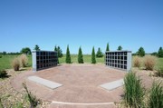
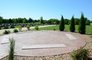
Cemetery and Columbarium

City of Crete
Departments of Public Works
City Hall - 243 East 13th Street
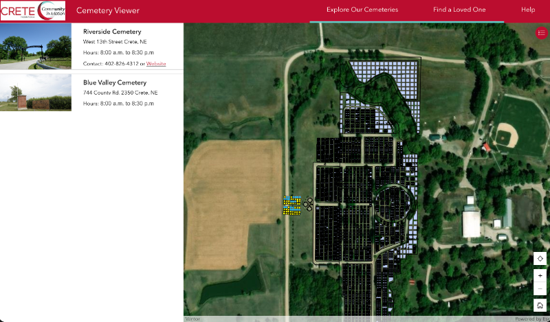
Riverside Cemetery & Columbarium - West 13th Street
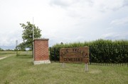
Blue Valley Cemetery - 744 County Rd. 2350
Public Works: 402.826.4312
Public Works Directory
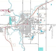
Open hours 8:00 a.m. to 8:30 p.m. Cemetery locations (pdf map) of cemetery locations.
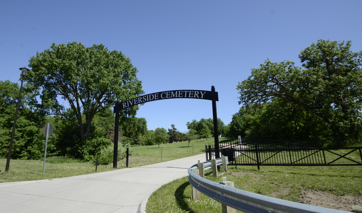
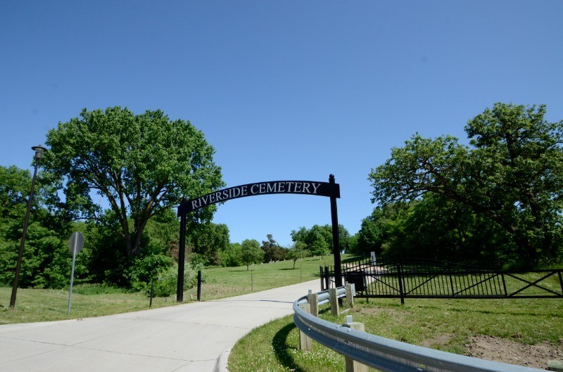
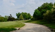
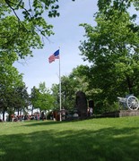
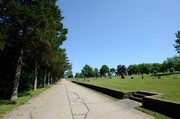
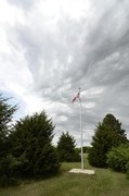
The main entrance to Riverside Cemetery is located just over the West 13th Street bridge in the northwest corner of Crete. The cemetery was platted in 1879 as a park-like space with tree-lined roadways. Limestone retaining walls line the oldest portions of the cemetery.
 Launch the media gallery 2 player
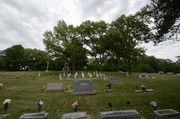
Blue Valley Cemetery is a rural cemetery south of Crete. It was the town's original cemetery, once called 'Maple Grove,' before the establishment of Riverside and is still in use today.
The City of Crete owns the municipal cemeteries and manages the areas through the Public Works Department. See information below about searchable, online cemetery maps.
Plot and burial pricing and columbarium rules (pdf)
For columbarium inquiries, please contact City Hall at 402.826.4312 or 826.4313.
For purchase of a burial plot, please contact Kuncl Funeral Home: 402-826-5178.
Cemetery Maps
Searchable cemetery maps for the municipal cemeteries are available online on the city's ArcGIS site.
- Once on the City of Crete’s main mapping site viewers can choose between three mapping functions: 1) City of Crete mapping, 2) Riverside and Blue Valley Cemeteries, and 3) Historical Tour.
- City of Crete mapping has tabs accessed on the left hand side of the screen for Layers (parcels, zoning, floodplain, voting precincts, garbage routes, no parking, etc.) and Basemaps (street, satellite, topographical, terrain, etc.)
- Use the search function by clicking the magnifying glass on the right hand side of the map to search for property addresses.
- Cemetery maps have a search function for grave site information
- Historical Tour map includes photos, information, and locations for sites and homes in Crete.

For additional questions on using the ArcGIS site (https://cityofcrete-crete-ne.hub.arcgis.com/) or login details for Public Works mapping contact:
Emerson Aschoff, GIS Technician
Public Works at City Hall
243 East 13th Street
Phone: 402.826.4312